+92 342 3433489  info@aogeospatial.com

  Karachi, Pakistan

Geodetic Surveying, GIS and Mapping Solutions

Precision Surveying. Intelligent Mapping. Smarter Decisions

AO Geospatial provides integrated Land and Aerial Surveying, GIS and Mapping solutions designed to support smarter project decisions.

0 +

Projects Completed

0 +

Years Experience

0 %

Client Satisfaction

0 +

Expert Team Members

About Us

With over 15 years of experience, AO Geospatial has been at the forefront of delivering precise, technology-driven GIS, mapping, and surveying solutions across various industries.

Services Overview

Our comprehensive geospatial services are designed to support engineering, planning, agriculture, and land development projects.

Industry Applications

Mapping & Terrain Analysis

  • Topographic Mapping
  • Orthomosaic Generation
  • DEM / DTM Models
  • 3D Modeling

Development & Monitoring

  • Land Development
  • Construction Monitoring
  • Volumetric Analysis

Management & Inspection

  • Agricultural Mapping
  • Infrastructure Corridor Mapping
  • Site Inspection
  • GIS Integration

Why Choose Us

AO Geospatial combines advanced technology and expert workflows to deliver accurate maps, 3D models, and spatial analysis that drive smarter decisions.

  • Experienced Professionals – Experience you can trust

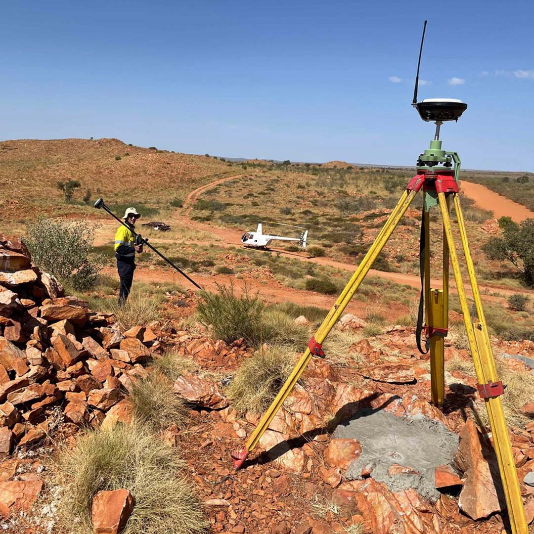
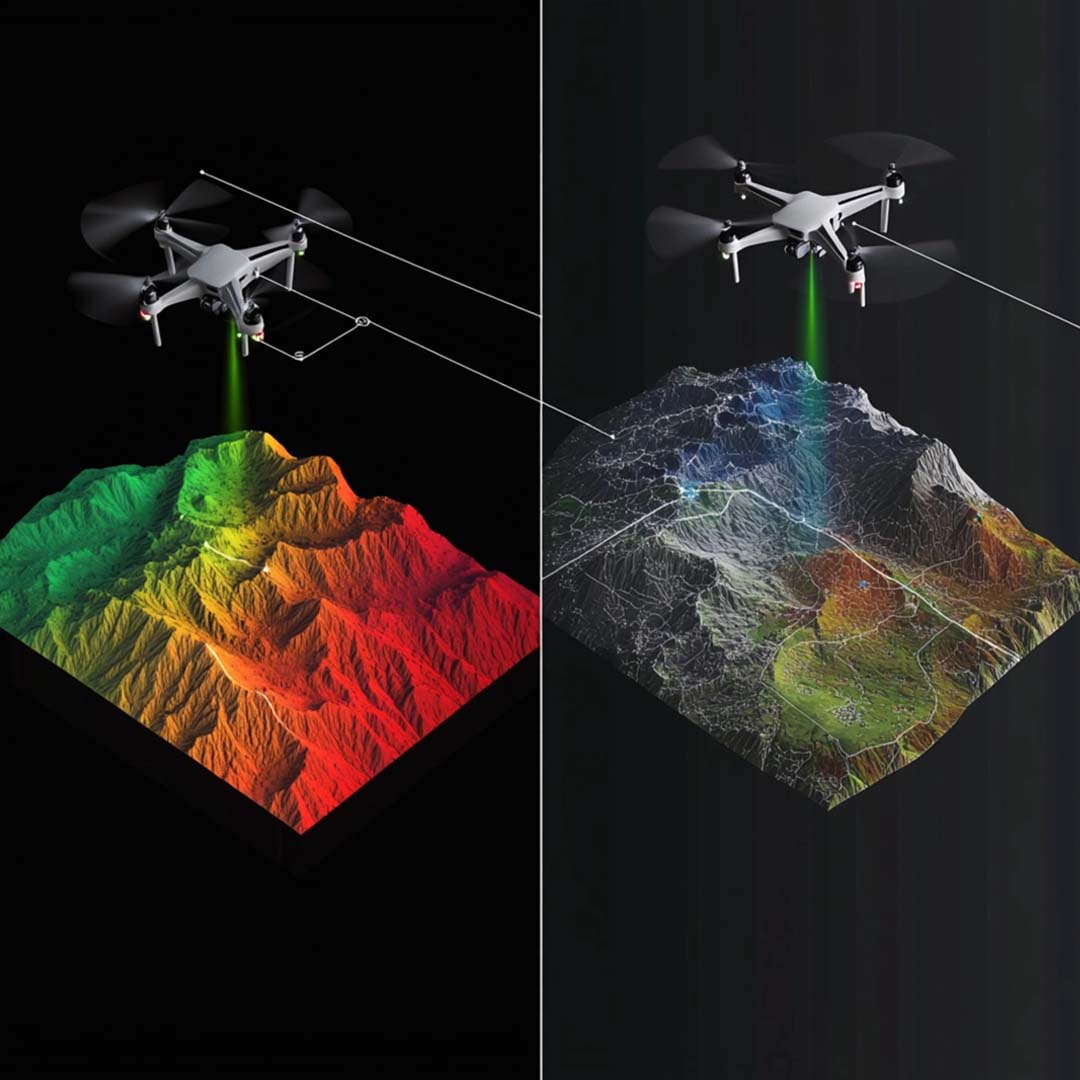
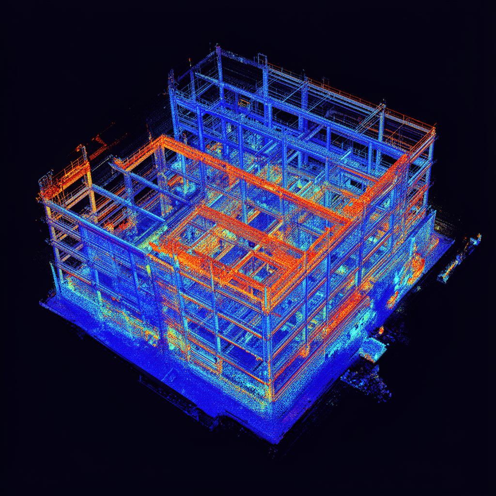
  • Cutting-Edge Technology – Drone, DGPS, GIS and Mapping solutions

  • Fast & Accurate – Rapid delivery with precision

  • Comprehensive Support – Planning, execution, and consultation

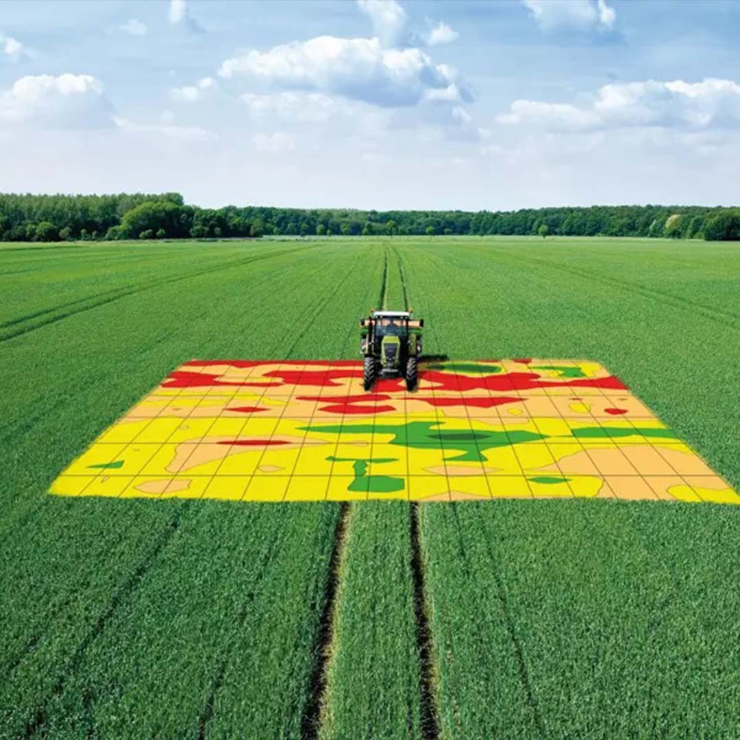
  • Tailored Solutions – Engineering, Planning, agriculture, and land development

Ready to Start Your Project?

Contact us today for a free consultation and discover how our geospatial solutions can transform your project.